Sea chart navigation is an essential skill for kayakers who want to safely explore waterways and navigate coastal waters with confidence and precision. By mastering the interpretation and use of sea charts, you can enhance your kayaking experience and unlock new opportunities for adventure.
Sea charts are detailed maps specifically designed for navigating coastal waters. They provide crucial information on water depths, navigation aids, hazards, and more. Understanding how to interpret sea charts is key to planning routes, avoiding obstacles, and making informed decisions while on the water.
Key Takeaways:
- Sea chart navigation is essential for kayakers to explore waterways safely and confidently.
- Understanding how to interpret sea charts is crucial for planning routes and making informed decisions.
- Essential navigation tools for kayakers include an orienteering compass, a marine deck compass, and a GPS device.
- Developing navigation skills involves learning how to read and interpret key features on sea charts.
- Navigating in challenging conditions requires advanced navigation skills and appropriate safety measures.
Understanding Sea Charts: A Key Navigation Tool for Kayakers
Sea charts are invaluable for kayakers looking to navigate coastal waters with confidence and precision. These detailed maps provide crucial information about water depths, navigation aids, and potential hazards, enabling kayakers to plan routes, avoid obstacles, and make informed decisions while on the water.
When interpreting sea charts, it’s essential to understand the various elements and symbols used. Contour lines, for example, indicate the depth of the water, allowing kayakers to identify shallow areas or submerged hazards. Navigation aids, such as buoys and lighthouses, are represented by specific symbols, providing kayakers with important points of reference.
Sea chart interpretation plays a vital role in navigating coastal waters while kayaking. Understanding the symbols, contour lines, and other key features allows kayakers to plan routes, avoid hazards, and make informed decisions while on the water.
Moreover, sea charts provide valuable information about tidal currents, which can greatly impact a kayaker’s experience. By studying the tidal information on a sea chart, kayakers can time their trips to take advantage of favorable currents or avoid challenging conditions.
Table: Common Symbols Found on Sea Charts
| Symbol | Description |
|---|---|
| A symbol representing a buoy. Buoys are used to mark navigable channels or hazards. | |
| A symbol representing a lighthouse. Lighthouses serve as prominent visual aids for navigation. | |
| A contour line representing a specific water depth. Contour lines help kayakers identify shallow areas or submerged hazards. |
By familiarizing themselves with sea charts and honing their interpretation skills, kayakers can enhance their marine navigation abilities, ensuring safer and more enjoyable experiences on the water.
Essential Navigation Tools for Kayakers
When it comes to kayaking, having the right navigation tools is crucial for a safe and enjoyable paddling experience. Sea charts are a valuable resource, but they are not the only tool you should rely on. Here are some essential navigation tools that every kayaker should have:
Orienteering Compass
An orienteering compass is an indispensable tool for taking bearings and determining your direction. It allows you to navigate accurately, even in areas without landmarks or visual references. Make sure to choose a compass designed for marine use, as it will be more durable and resistant to water.
Marine Deck Compass
A marine deck compass is specifically designed for on-water navigation and is mounted on your kayak’s deck. It provides a quick and easy reference for direction, allowing you to keep track of your heading without having to constantly look at your chart or GPS device. Choose a compass with a clear and easy-to-read display.
GPS Device
A GPS device is a powerful tool for precise positioning and tracking. It can provide you with real-time information about your location, speed, and distance traveled. Look for a GPS device that is designed for marine use, waterproof, and has a long battery life. Familiarize yourself with the device’s features and functions before heading out on the water.
By having these essential navigation tools at your disposal, you’ll be able to navigate confidently and safely. Remember, practice using these tools before your kayaking adventures to become familiar with their operation. When using electronic devices like GPS, always have a backup plan and carry navigational charts and a compass as a reliable backup.
Now let’s take a closer look at how to use these tools effectively in conjunction with sea charts and other navigation techniques in section 4.
Developing Navigation Skills: Techniques and Tips for Kayakers
Becoming a proficient navigator in coastal waters is essential for kayakers. To enhance your navigation skills, you should learn how to read and interpret key features on sea charts. Understanding contour lines, symbols, and depths will enable you to plan routes and avoid potential hazards along the way.
Planning is crucial when it comes to kayaking in coastal waters. Before setting out on your adventure, take into account weather conditions and tides. Familiarize yourself with different weather patterns and learn how to navigate in various conditions. This knowledge will help you make informed decisions and ensure your safety on the water.
One effective way to develop your navigation skills is by taking a navigation course or paddling with experienced kayakers. They can provide practical tips and guidance, helping you gain confidence and master the art of coastal navigation. Additionally, practicing your navigation techniques regularly will refine your skills and make you more comfortable in unfamiliar waters.
Navigating in Different Weather Conditions
Coastal kayaking can present diverse weather conditions, so it’s essential to be prepared. Here are some coastal kayaking navigation tips for specific weather scenarios:
- In foggy conditions, use a compass and take bearings frequently to maintain a sense of direction. Be cautious and avoid areas with potential hazards.
- When dealing with strong currents, plan your routes carefully and consider their impact on your kayaking speed. Utilize tide tables and current charts to determine the best times for paddling.
- In rough seas, maintain a stable position by using your paddle and body weight to balance your kayak. Be aware of potential wave patterns and adjust your route accordingly.
By honing your navigation skills and applying these techniques, you’ll be well-prepared to navigate coastal waters with confidence and enjoy the beauty of kayaking in diverse marine environments.
Navigating in Challenging Conditions: Safety Considerations for Kayakers
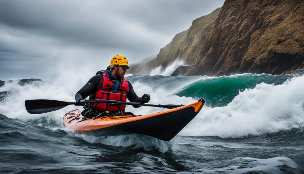
When it comes to sea navigation for kayakers, it’s essential to be prepared for challenging conditions. Whether you encounter dense fog, strong currents, or rough seas, having the right skills and taking necessary safety precautions can make all the difference. Here are some important safety considerations to keep in mind:
Understanding Navigation Rules
Before heading out on the water, it’s crucial to familiarize yourself with navigation rules. This includes understanding right-of-way rules, keeping a safe distance from other vessels, and knowing the meaning of various navigational signals. By following these rules, you can navigate through busy waterways and avoid potential collisions.
Being Familiar with Local Marine Regulations
Each coastal area may have its own set of marine regulations that kayakers need to adhere to. These regulations may include speed limits, restricted areas, and specific safety equipment requirements. Before embarking on your kayaking adventure, research and familiarize yourself with the local marine regulations to ensure compliance and safety.
Prioritizing Safety Equipment
In challenging conditions, it’s crucial to be well-equipped with the appropriate safety gear. This includes wearing a personal flotation device (PFD) at all times, carrying a whistle or other signaling device to alert nearby vessels in case of an emergency, and having a reliable communication device such as a waterproof VHF radio or a mobile phone in a waterproof case. Additionally, consider carrying a marine flare or other visual signaling tool for enhanced visibility.
Seeking Local Knowledge and Expertise
Before venturing into unfamiliar or challenging waters, it’s beneficial to seek local knowledge and learn from experienced kayakers or local guides. They can provide insights on the best routes, potential hazards, and tips for navigating in specific conditions. Learning from those with local expertise can help you make informed decisions and enhance your safety on the water.
By considering these safety measures and developing your marine navigation skills, you can navigate challenging conditions more confidently as a kayaker. Remember to always prioritize safety and be prepared for any unexpected situations that may arise.
The Importance of Self-Reliance in Sea Chart Navigation
Mastering sea chart navigation gives you a sense of self-reliance and empowers you to explore waterways confidently. With the ability to navigate accurately, you can plan expeditions, discover new areas, and experience the joy of independent exploration.
Developing navigation skills also helps build resilience and adaptability, key traits for any kayaker. By understanding how to read and interpret sea charts, you gain a deeper understanding of the water environment and become better equipped to handle different situations. Whether you encounter unexpected hazards or need to adjust your course due to changing weather conditions, your navigation skills will guide you safely through.
Self-reliance in sea chart navigation goes beyond just a practical skill. It instills a sense of freedom and confidence in your kayaking adventures. No longer bound to predefined routes or relying solely on GPS devices, you become more connected to the natural environment and the thrill of finding your way through the water.
So, embrace the journey of mastering sea chart navigation. Enhance your marine navigation skills, practice using essential tools, and gain the confidence to explore coastal waters on your own terms. Let the sea charts be your guide as you navigate the waters with self-reliance and curiosity.
Choosing the Right Gear for Sea Chart Navigation
When it comes to sea chart navigation, having the right gear can make all the difference in ensuring a safe and successful kayaking experience. Here are some essential gear items that every kayaker should invest in:
Kayaking Navigation Tools
One of the most crucial navigation tools for kayakers is a waterproof case or container to protect your sea charts and other navigational tools from water damage. This will ensure that your charts remain dry and legible, even in challenging conditions. Additionally, a chart plotter or map holder is a must-have for easy access to your charts while paddling. These devices securely hold your charts in place, allowing you to reference them quickly and efficiently. Finally, don’t forget about appropriate lighting for night navigation. A reliable headlamp or deck light will provide the necessary illumination to read your charts and navigate with confidence.
The Right Gear for Using Sea Charts in Kayaking
Aside from navigation tools, it’s also essential to consider the gear needed specifically for using sea charts in kayaking. One crucial item is a compass. An orienteering compass will help you take accurate bearings while on land, while a marine deck compass is designed for on-water navigation. Both are indispensable tools for ensuring you stay on course and navigate accurately. Additionally, consider investing in a GPS device. This device provides precise positioning and tracking, giving you real-time information about your location and helping you stay on track.
By having these essential gear items, you’ll be well-equipped to navigate with sea charts and explore coastal waters confidently. Remember, safety should always be a priority, so invest in quality gear that will withstand the elements and enhance your navigation skills.
| Essential Gear for Sea Chart Navigation | Usage |
|---|---|
| Waterproof case or container | Protects sea charts and navigational tools from water damage |
| Chart plotter or map holder | Provides easy access to charts while paddling |
| Headlamp or deck light | Provides illumination for night navigation |
| Orienteering compass | Helps take accurate bearings on land |
| Marine deck compass | Designed for on-water navigation |
| GPS device | Provides precise positioning and tracking |
Remember, investing in the right gear is an investment in your safety and navigation skills. Take the time to research and choose gear that suits your kayaking needs, ensuring that you’re well-prepared for any adventure on the water.
Conclusion
Mastering sea chart navigation is a valuable skill for kayakers, allowing you to safely and confidently explore coastal waters. By understanding how to read and interpret sea charts, utilizing essential navigation tools, and developing your navigation skills, you can plan and execute successful paddling adventures.
With practice and experience, you can become a proficient navigator, expanding your horizons and enriching your kayaking journeys. Sea navigation for kayakers is not just about finding your way, but also about the sense of self-reliance it brings. As you navigate accurately, you can plan expeditions, discover new areas, and experience the joy of independent exploration.
Investing in the right gear, such as waterproof cases for charts and navigational tools, chart plotters or map holders for easy access, and proper lighting for night navigation, ensures that you can navigate safely and efficiently. It’s important to prioritize safety by carrying appropriate safety equipment and staying informed about local marine regulations.
By mastering sea chart navigation, you become the captain of your own kayak, navigating with confidence and precision. So grab your sea charts, gear up, and embark on incredible kayaking adventures, unlocking the endless possibilities of the vast coastal waters.
FAQ
What is a sea chart?
A sea chart is a detailed map specifically designed for navigating coastal waters. It provides information on water depths, navigation aids, and hazards, among other things.
Why is understanding sea charts important for kayakers?
Understanding sea charts is crucial for kayakers to plan routes, avoid obstacles, and make informed decisions while on the water.
What navigation tools do kayakers need?
Kayakers should have an orienteering compass, a marine deck compass, and a GPS device for precise positioning and tracking.
How can kayakers become proficient in navigation?
Kayakers can become proficient in navigation by learning how to read and interpret sea charts, attending navigation courses, and paddling with experienced kayakers.
How should kayakers navigate in challenging conditions?
Kayakers should have a solid understanding of navigation rules, be familiar with local marine regulations, and always prioritize safety. Carrying appropriate safety equipment is also essential.
What does mastering sea chart navigation offer kayakers?
Mastering sea chart navigation gives kayakers a sense of self-reliance and enables them to confidently explore waterways, plan expeditions, and experience independent exploration.
What gear is essential for sea chart navigation?
Kayakers should invest in a waterproof case or container for charts and navigational tools, a chart plotter or map holder for easy access to charts, and appropriate lighting for night navigation.
How can kayakers plan and execute successful paddling adventures?
Kayakers can plan and execute successful paddling adventures by understanding sea charts, utilizing navigation tools, and developing navigation skills through practice and experience.

